Lake Chabot is a reservoir, but geologists still agree with laypeople that it qualifies as a lake.
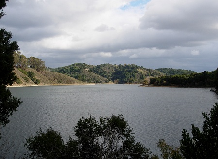
That said, reservoirs differ from most lakes. They have steep banks and deep middles. This gives them a greater variety of habitats. They have jagged planforms on the map because they intrude up every little tributary valley instead of developing a nice rounded shape. And, of course, they’re temporary by any geological measure.
Around here, most lakes form as a result of tectonic activity or landslides. Lake Temescal started out as a sag pond on the Hayward fault. Clear Lake, farther north, formed when a landslide dammed a fork of the Russian River. It rose until it spilled eastward down Cache Creek, which has captured the watershed. Lake Chabot is about 50 feet short of that level; if Anthony Chabot had built his dam higher, the lake would now spill south into Castro Valley.
The valley of San Leandro Creek is so steep and its walls so high that I can easily picture it collapsing regularly, especially during big earthquakes, to have made ancient Lake Chabots in the past. So today’s lake isn’t so unusual for the region.

Leave a reply